Products
At Readar, we translate aerial imagery into valuable information products that support municipalities in policy development, sustainability, and monitoring. Discover how our solutions can help you.
At Readar, we translate aerial imagery into valuable information products that support municipalities in policy development, sustainability, and monitoring. Discover how our solutions can help you.
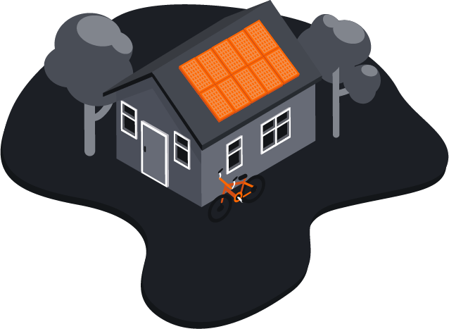
Track the development of solar energy in your municipality. Since 2016, we have been mapping solar panels using Artificial Intelligence. Our solution offers:
With our dashboard, you always have access to:
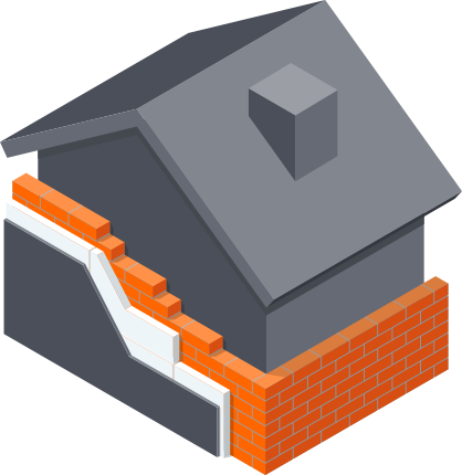
In urban areas, half of all energy goes to buildings, of which 80% is for heating. To become climate neutral, better insulation is a crucial step. Do you know how your municipality's housing insulation stands? And what is still needed in the next 6 years until 2030? Our insulation monitor gives you clear answers and helps you track progress!
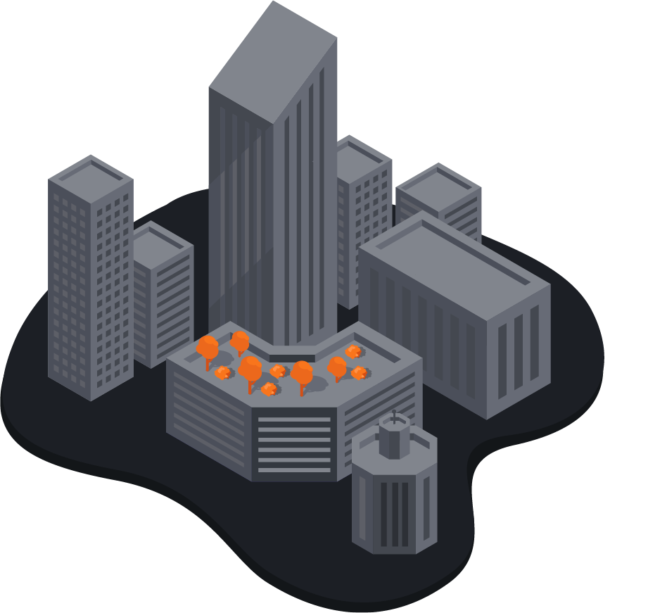
Detect and monitor changes in your municipality. Our change detection helps you keep your building registry up to date:
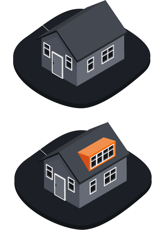
Contribute to climate adaptation and biodiversity. With our technology, we map green roofs:
With our dashboard, you always have access to:
All this data is part of our comprehensive data subscription. This includes not only solar panels, green roofs, and change detection, but also TrueOrtho photos, information about dormers, parking spaces, insulation values of homes, and more. With our data subscription, you always have access to the most current and detailed information.
Missing a specific data layer? We regularly add new insights and would love to hear which additional data would be valuable to you!
Contact us today to learn more about our products and how we can support your municipality!
Contact us today